Ali Abdallah - Portfolio
Cartographer – 07/2024 to 10/2024
Quality Standards for Information Technology - QSIT, Cairo, Egypt
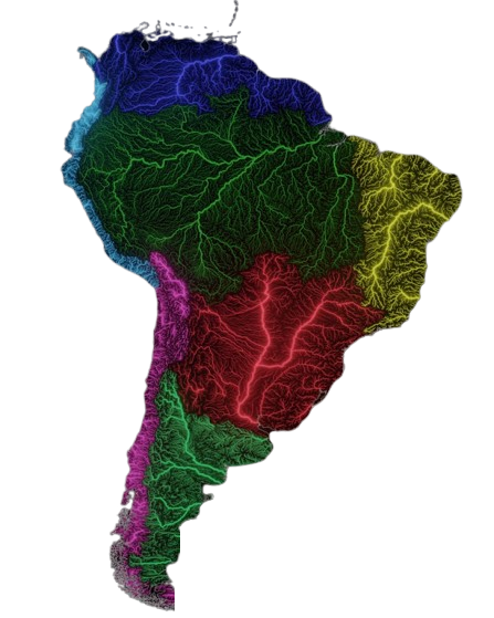
I designed vector maps using ArcGIS Pro, ensuring high-quality visual representation that effectively communicated geographic information and data insights. I developed print templates that enhanced the usability of maps, allowing users to easily interpret and navigate the presented information.
By applying advanced symbolization techniques and creating map labels in both English and Arabic, I ensured accessibility and understanding for diverse audiences. I conducted thorough quality checks to maintain accuracy and consistency in mapping data, identifying and correcting discrepancies to uphold high cartographic standards.
Collaborating closely with team members, I gathered and integrated geographic information to ensure a comprehensive understanding of project requirements and objectives. Additionally, I produced detailed documentation of mapping processes and methodologies, providing clear guidelines and references for future projects and team members.
I presented completed maps and visualizations to stakeholders for feedback and approval, actively incorporating their insights to refine and enhance the final products.